摄影原作结合等高线地形图设计海报
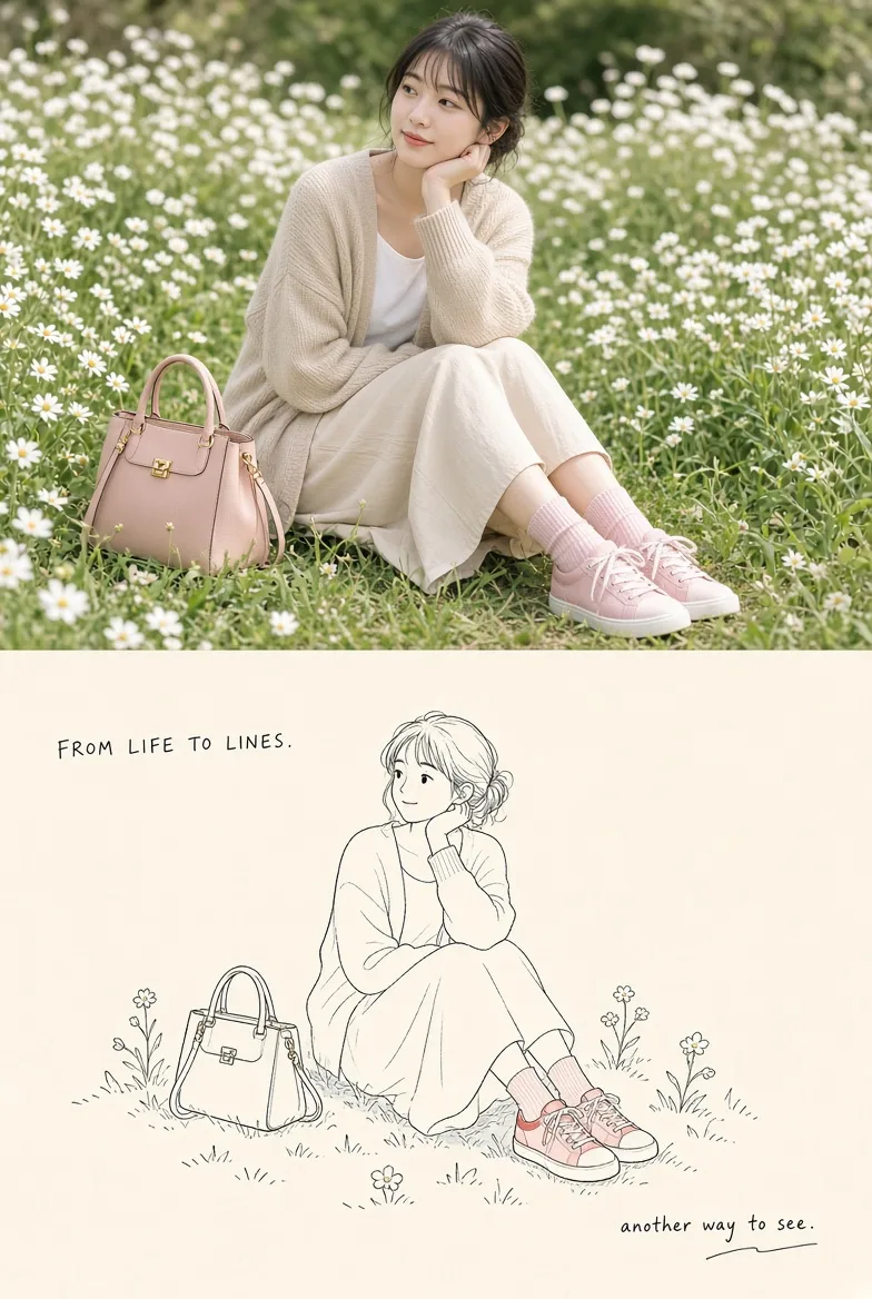
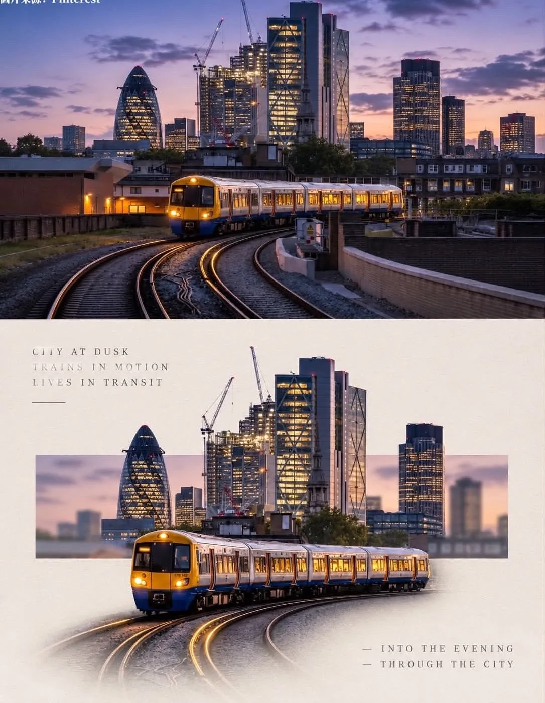
Please process each photo I upload into an independent high-end design poster, no multi-image stitching, each photo output individually. The overall composition uses a 3:4 vertical layout, with the upper and lower regions strictly 1:1 in height, each occupying 50% of the screen. The upper half preserves the original photo, maintaining the subject's identity, structure, posture, realistic texture, natural light and shadow, and the original color atmosphere, only performing slight high-end color grading to give it the texture of an art magazine, independent publication, or exhibition image. To adapt to the frame, the environmental background can be naturally extended, but the subject must not be stretched, distorted, or changed. The upper half only contains the uploaded photo itself, following the original framing, without adding any text, borders, or graphics. The lower half extracts the most recognizable scenes, terrain, and feature positions from the photo and reconstructs them into a map: the scenery in the photo is mapped one-to-one according to position, drawn as a cartographic-style topographic map. Ridges and mountains are circles of brown contour lines (the higher the lines, the denser and darker the color), the water surface is a blue fine horizontal line mesh, forests or grasslands are light green dot matrices, houses and buildings are small black squares, and roads are thin lines. No realistic features are drawn. The composition follows "one map, one legend": the map fills about three-quarters of the lower half, with a thin border around it; the positions of the features in the map are consistent with the photo (the mountain on the left in the photo is on the left in the map, the water is at the bottom, etc.); a small legend is left in the lower right corner, containing three small color blocks plus very short descriptions, with a scale bar next to the legend; there is a small north arrow in one corner of the map. The surrounding paper surface is left white. Only four colors are used: brown (contour lines), blue (water), light green (vegetation), near-black (buildings and lines), purified after sampling colors from the photo; the paper is an extremely light creamy white; flat colors, thin lines. The material is a printed map: thin lines are clear, contour lines have extremely slight manual fluctuations, the paper surface has extremely fine fibers, and the edges have slight creases; no gradients or realistic shadows. Text only appears on the map: one line for the map title (all-caps English name of the location extracted from the photo), numbers on the scale bar, three very short all-caps English words in the legend (such as WATER, FOREST, PEAK), and the letter N on the north arrow. Apart from this, no other text, letters, numbers, or logos appear in the frame. Overall presentation shows a visual relationship of real photography × topographic map, clean, precise, quiet, with a sense of exploration. Avoid realistic landscapes, gradients, complex decorations, multiple legends, commercial advertising copy, and a template feel.
About this prompt
A striking poster that pairs a single full‑color photograph with a stylized cartographic overlay. The upper half displays the intact image, while the lower half reveals a clean, hand‑sketched topographic map that mirrors the photo’s terrain—mountains in brown contour circles, water in fine blue horizontals, vegetation in light‑green dots, and buildings as tiny black squares. The overall tone is calm and scholarly, evoking exploration and cartographic heritage. The visual effect derives from the strict 3:4 vertical layout, 50/50 split, and the use of flat, ungradient colors. Subtle high‑end color grading gives the photo an art magazine texture, while the map’s thin, almost manual linework and limited palette emphasize clarity. A minimalist legend with a scale bar and north arrow, placed in a quiet corner, tidies the composition and reinforces the map’s authenticity. To adapt it, keep the 50/50 split and the cautious color scheme. If you wish for more vibrancy, try a warmer bias for the grass dots or a brighter blue for water. If the photo’s texture seems too flat, add a touch of grain or slight vignette before converting to the map layer, ensuring the geographic positions still align correctly.
More like this