虚构国家地图生成器
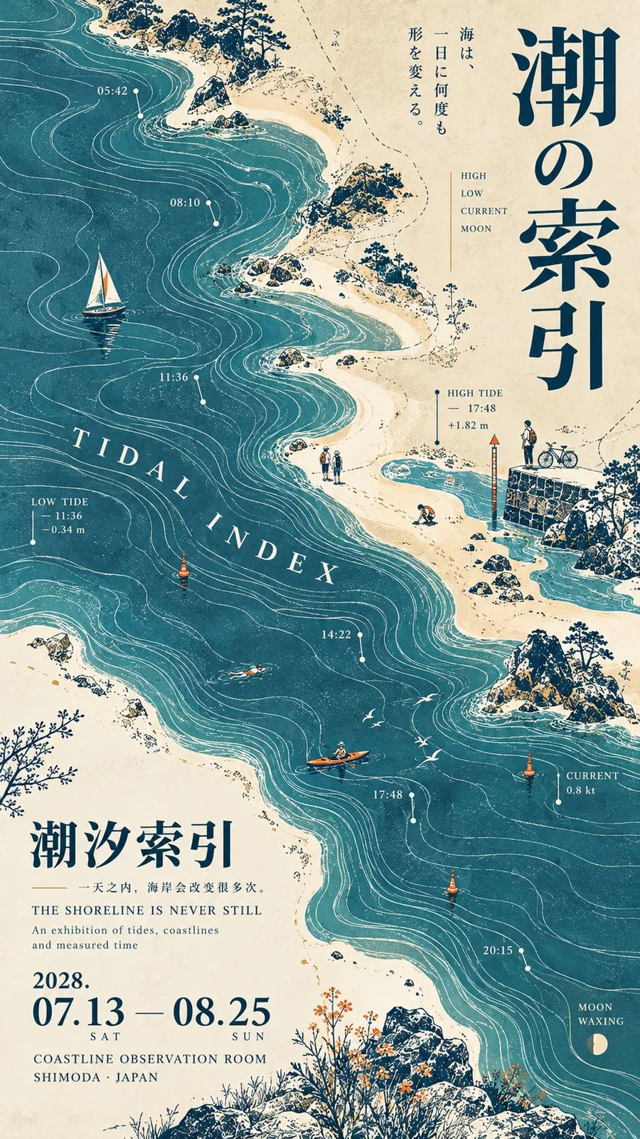
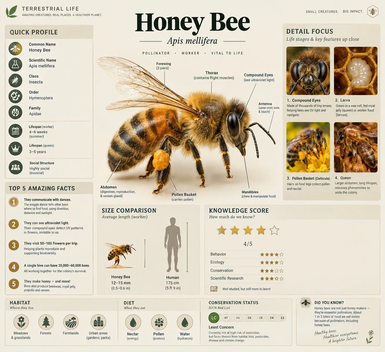
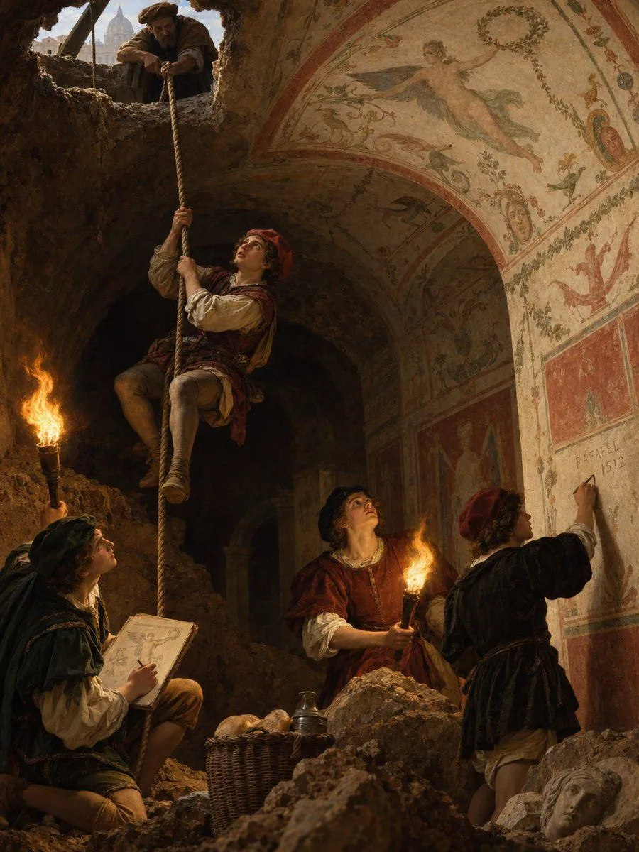
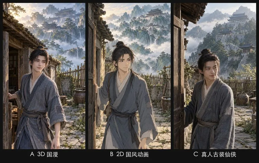
Generate a map of a fictional country. Based on the national settings below, generate a map that fits the setting and enclose it in a border. Do not include any explanatory text; list only place names. With regard to place names, discribe only those that are bellow; do not discribe the names of places not mentioned in the text. Depict the terrain in a way that makes it easily recognizable. Map colors should be chosen to match the terrain, and areas should not be distinguished by color. [[国名]]:[{argument name="national_settings" default="[国の概要や地理の説明]"]
提示词解读
此提示要求绘制一张虚构国家的简洁地图,地图被装饰性边框包围。地图上只列出指定的地名,不包含任何解释性文字,整体呈现整洁、极简的图表样式,适合作为虚构世界构建手册的参考。 视觉要素主要包括真实的地形符号——等高线、河流、植被区块——采用与地形相匹配的自然色彩,国土轮廓以单一统一边框呈现。地区不使用颜色区分,聚焦于地理与地名,地名排布遵循传统地图习惯(北方在上,名称靠近相应地形)。 改编时,可以把“虚构国家”替换为任何想要绘制的世界。保留“仅列出地名”“不含解释文字”的约束,以保持极简风格;根据所选地形调整配色——蓝色代表水体,绿色代表森林,棕色代表山地等。}}
更多相似提示词